
Barcelona Drone Days 2025
October 24, 2025
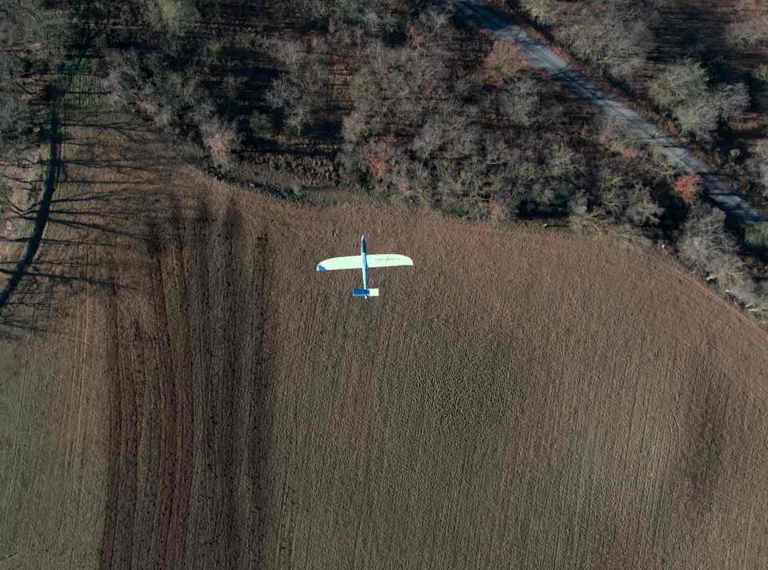
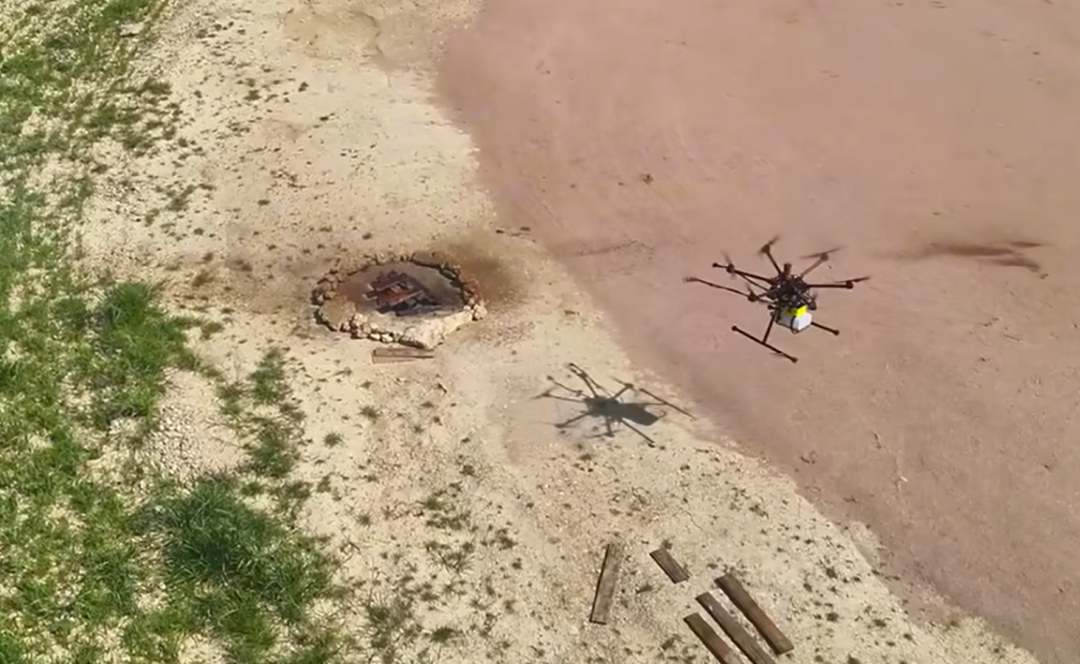
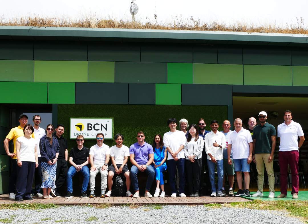
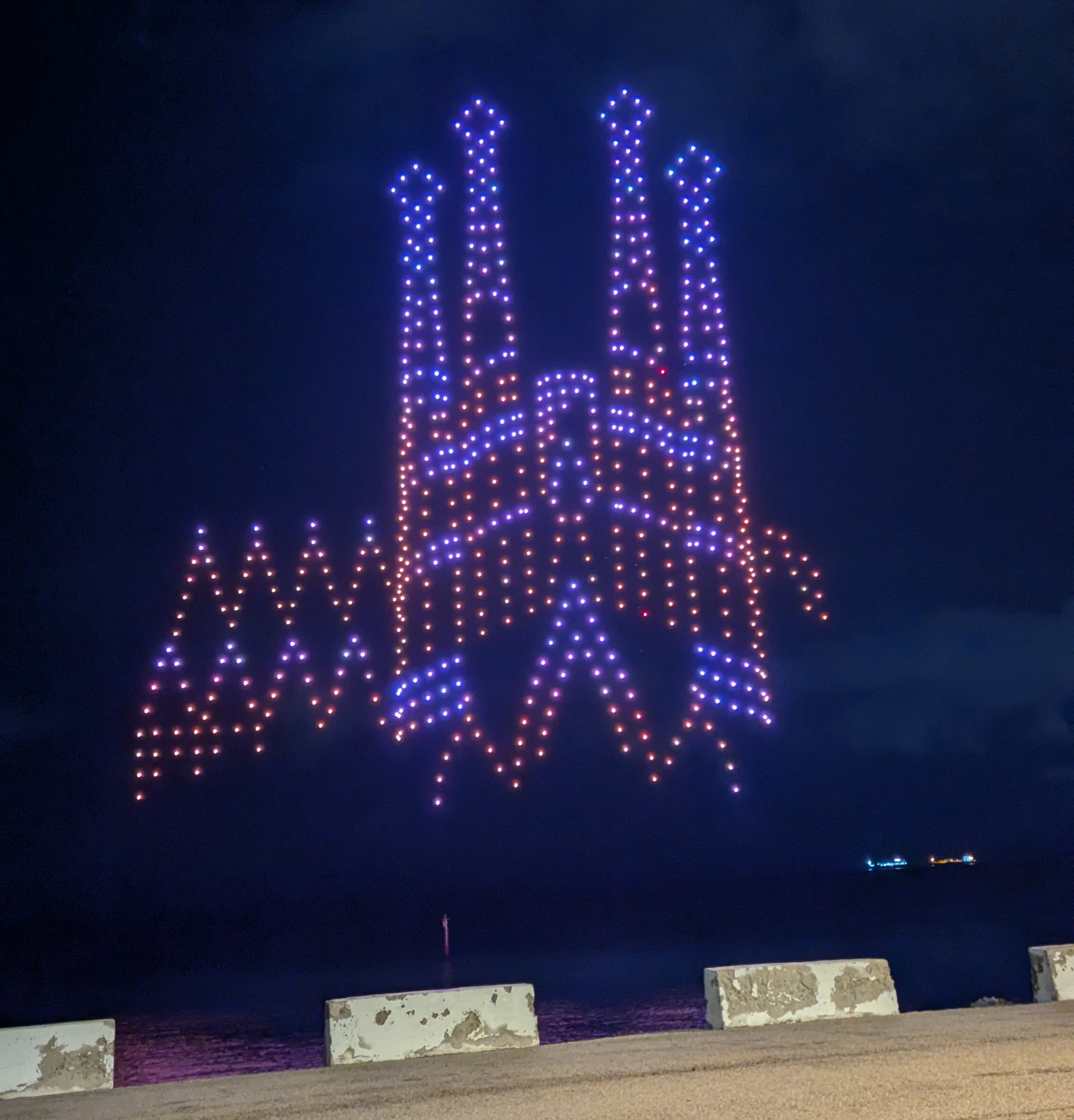
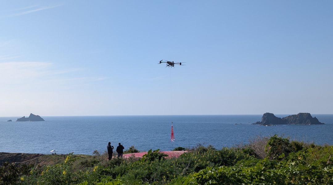
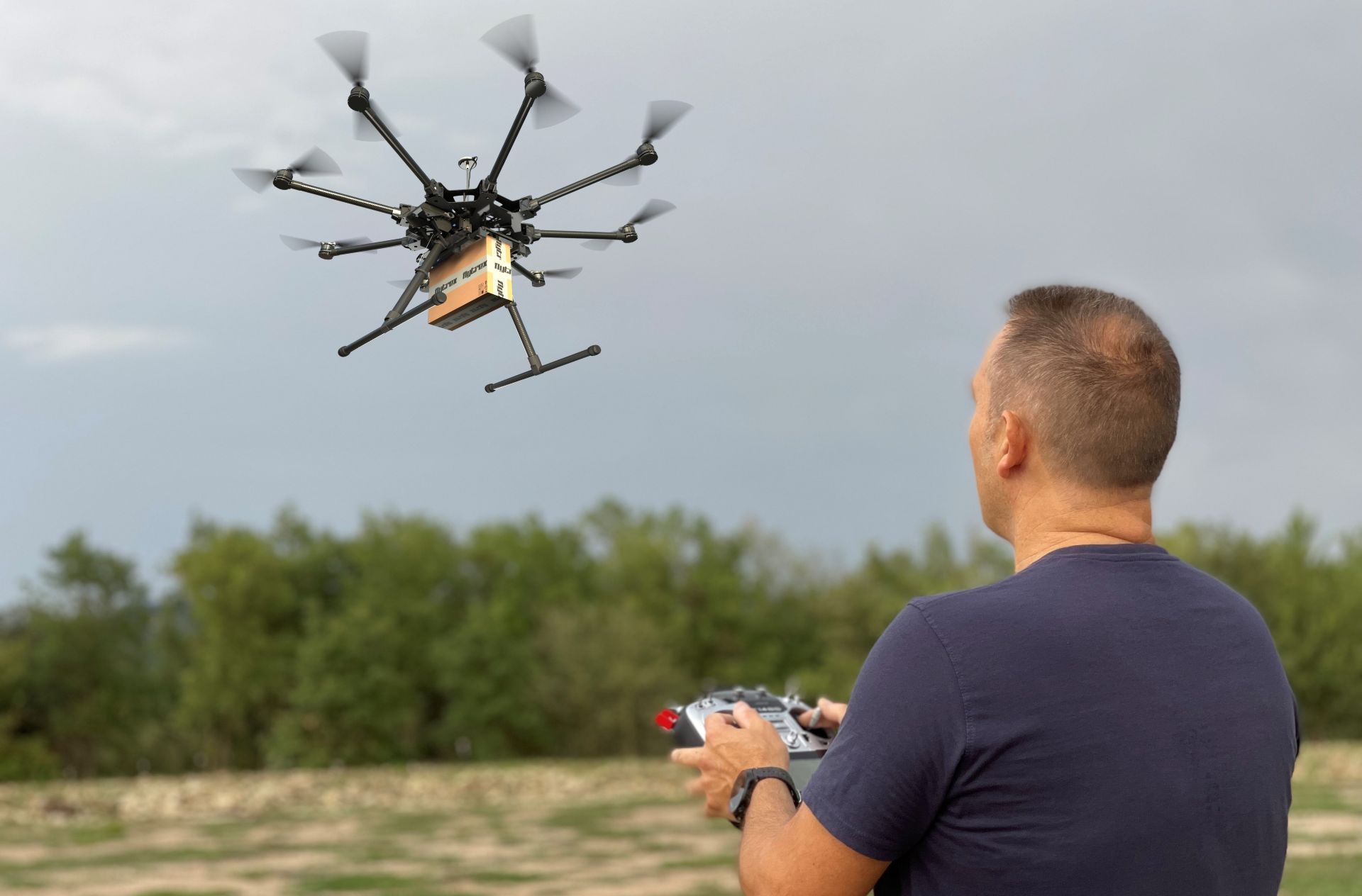
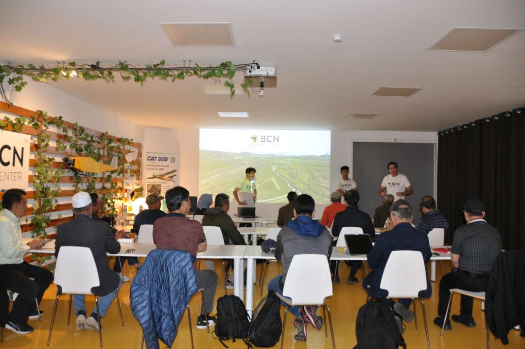
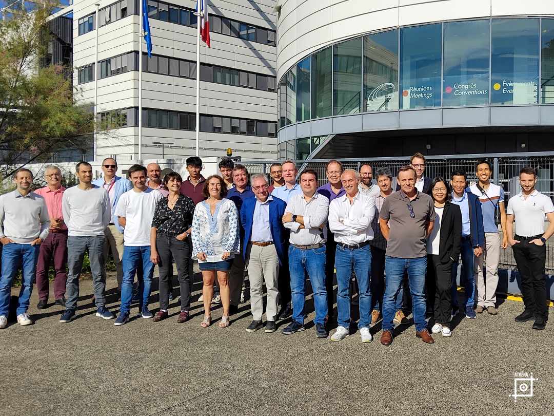
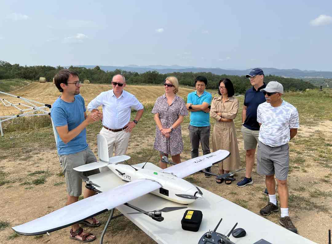
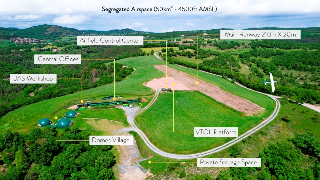
On October 8 and 9, BCN Drone Center hosted an exclusive, invitation-only event titled Barcelona Drone Days, bringing together leading stakeholders in the unmanned aerial systems (UAS) sector to explore the future of remote drone operations.