12 Jun 3rd and 4th editions of UAV remote sensing course come to and end
Posted at 17:07h
in News
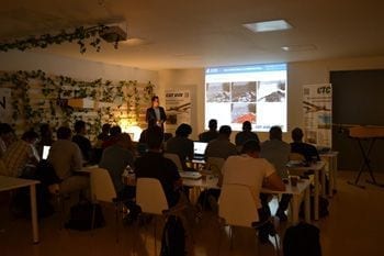
Last two weeks CTC facilities have successfully held the 3rd and 4th editions of the UAV remote-sensing course. During both weeks participants have learnt all basic photogrammetry and remote-sensing concepts and how they are linked with UAV operation. They have also seen different real case-studios of UAV applications. Flights with different UAV systems have been made in order to acquire real datasets that have been used for hand-on image post-processing training such as orthophoto and digital terrain models generation or NDVI analysis for precision agriculture. Thanks again to all co-organisers and sponsors for making this possible and thanks to all participants to come here and enjoy the course.