30 May Search & Rescue IOPES testing
The IOPES project integrates wearable positioning technologies, LTE/5G portable and easily deployable communications, a seasoned IT-based emergency management system as well as fast mapping products in order to track the positions of the members of emergency teams, no matter whether they are indoors or outdoors, willing to strengthen the preparednes of civil protection and emergency teams involved in several kind of disaster-related operations.
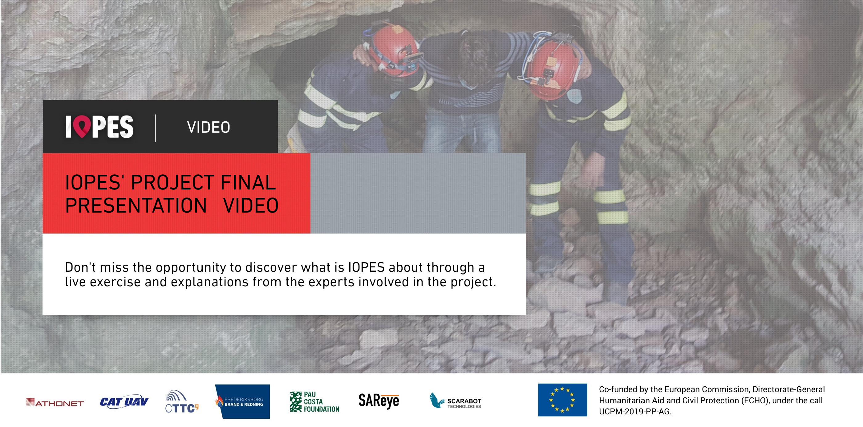
This month BCN Drone Center facilities were used to test the seamless indoor/outdoor positioning helmets and its real time positioning over updated UAV maps. Three rescue operations related to fire, floods and urban evacuation were simulated to demonstrate the system functionalities, including open fields, forests, caves and houses’ indoors.
With these tests IOPES proved the suitability of the proposed system to ensure continuous tracking of CPE staff, every time, everywhere.
You can review the full testing in the broadcast of the exercise: